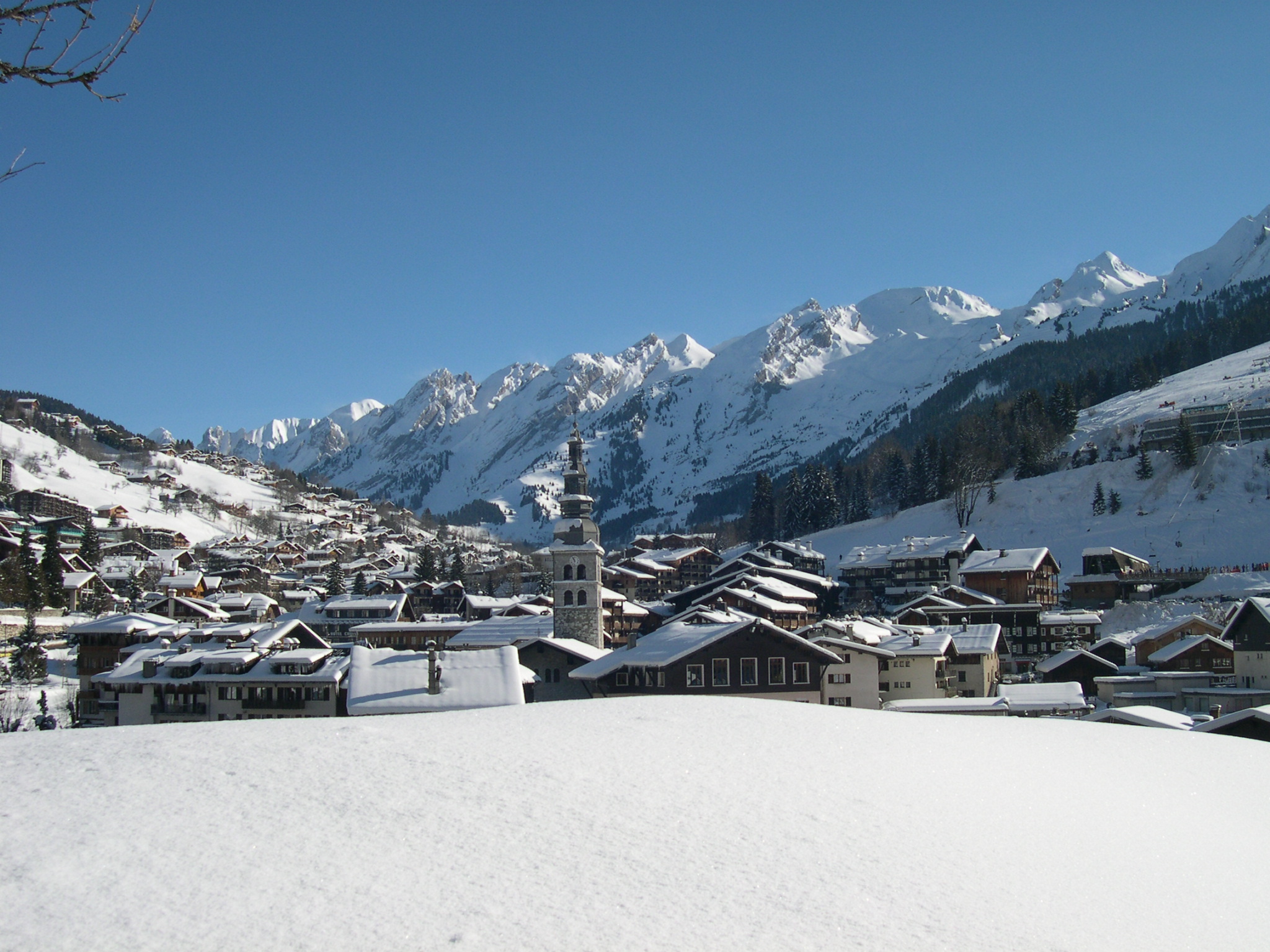
La Clusaz
The piste breakdown and terrain figures shown are for the whole linked area. Shuttle bus or train reaches the other resorts here, not lifts. Expect to stay in this sector most days.
Typically -2.6°C · 16cm fresh / week · powder day 38% · mixed 55%
What to expect in weeks 8–11
Based on 29 winters of weather data, modelled at ~1443m (not the village). Any single year can be very different.
Typically mixed, around -2.6°C, with 16cm of fresh snow over the week. Powder days hit 38% of the time. Other weeks run stormy.
What a season here looks like
Each track shows the typical range across 29 winters. The marker shows where your selected weeks sit.
Thinner snow, and warmer air
La Clusaz's typical base has been getting slightly shallower, by 5cm a decade across 76 winters. The winter freezing level has climbed 57m a decade.
Across single winters (1963–64 to 1974–75).
1950–1959 to 2020–2025. The Haute-Savoie region moved −21cm.
Per decade. 1017m in 1950–1959, 1437m now.
Calibrated reanalysis, 1950–2025. Bars are each winter's mean base, rules each decade's mean. 2020–2025 holds 6 winters, not ten. Every figure here averages a full season, so none of them will match the readings for your chosen weeks above.
Book this trip
AdWe may earn a commission from these partners. It never costs you extra, and it never affects your ranking.
Transfers
| Airport | Drive | Train |
|---|---|---|
| Chambéry (CMF) | 70 min | |
| Grenoble (GNB) | 118 min | |
| Geneva (GVA) | 75 min | |
| Lyon (LYS) | 115 min |
Method & sources
We weigh snow reliability against this resort's own history, add live conditions where we have them, then adjust for how hard the trip is for your group.
- 01ERA5-Land hourly grid → daily SWE & snow depth at the resort cell.
- 02Bias-correct against ground stations (SLF / Météo-France nivôse).
- 03Build per-week climatological percentile · 30 winters.
- 04Anomaly = current week vs. cell's own 30-year baseline.
- 05Snow-sure read at the highest-snow cell within ~15km. When most resorts are bare, ranking shifts toward this, surfacing glaciers in shoulder seasons.
- 06Weight + rank against your origin & vibe profile.
Snow data sources
Ground stations the score is based on.
- LA CLUSAZmeteofrance
- GRAND-BORNANDmeteofrance